Airpark / Kierland

Scottsdale coverage area
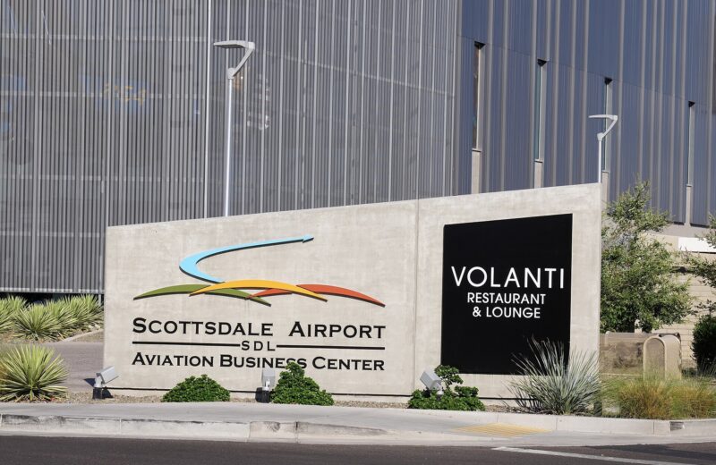
The area around Scottsdale Airport is what the city calls the Scottsdale Airpark. The Greater Airpark Character Area Plan is the official long-range policy document for a wider area the city describes, generally, as the Grayhawk Neighborhood to the north, the power line corridor and WestWorld to the northeast, 90th Street and the Loop 101 to the east, Thunderbird Road to the south, and Scottsdale Road to the west. Scottsdale Airport’s administrative offices are at 15000 N. Airport Drive. This page also collects stories tagged to the Kierland area. The city does not publish a separate Character Area Plan named Kierland.
SAZLive uses these pages as coverage areas for tagged stories. They are not official city limits. Homeowner-association and community lines often overlap.
Sources
Sources checked Nov. 15, 2026.
- Greater Airpark Character Area Plan — Airpark vs Greater Airpark; general bounds including Grayhawk, WestWorld, 90th/Loop 101, Thunderbird, Scottsdale Road; October 2010 adoption
- Scottsdale Airport — Official airport page; administrative address 15000 N. Airport Drive Ste 100, Scottsdale, AZ 85260
- WestWorld of Scottsdale — Official city WestWorld page (URL confirmed 200)
Latest in this file

Civic
City boards meet the week of Nov. 16, and Planning Commission holds a Nov. 17 hearing
The City of Scottsdale's official weekly update dated Nov. 9, 2026, listed these public meetings for the week of Nov. 16.

Business
Scottsdale Airport remains a corporate reliever field, not an airline hub
Scottsdale Airport is a general-aviation reliever field with no commercial airline or commuter service, according to the city’s official airport pages.


Business
U.S. Customs at Scottsdale Airport is open daily, with after-hours fees
Scottsdale Airport offers U.S. Customs and Border Protection service from 9 a.m. to 7 p.m. daily for business and leisure travelers.
Business
City plan frames the Greater Airpark from Grayhawk to Thunderbird
The City of Scottsdale’s Greater Airpark Character Area Plan is the long-range policy document for the area around Scottsdale Airport, the city says. The plan “establishes the vision for the Greater Scottsdale Airpark and provides the basis for decision-making over a twenty-year time-frame,” and it…
Desert Living
Scottsdale Sports Complex on Princess Drive hosts fields and tournaments
The Scottsdale Sports Complex, at 8081 E. Princess Drive, is the city’s premier sports facility for youth and adult sports, according to the official park page. The city says the site offers high-quality fields, event spaces and amenities and is used for tournaments as well as regular play.