Water
New U.S. Drought Monitor map shows improvement in Maricopa County
The U.S. Drought Monitor map dated Nov. 10, 2026, and valid through Nov. 16, shows further improvement in Maricopa County from late October, according to official county statistics published by the monitor.
On the Nov. 10 map, 21.07 percent of the county was in no drought, 78.93 percent was in at least abnormal dryness (D0 or worse), and 40.18 percent was in at least moderate drought (D1 or worse). None of the county was in severe drought (D2) or in a higher category.
That is a change from the Oct. 27 map, which showed only 5.74 percent of the county with no drought and 31.72 percent in severe drought or worse. The severe-drought share dropped to zero on the Nov. 3 map and remained at zero on Nov. 10. The share of the county in moderate drought or worse eased slightly, from 40.41 percent on Nov. 3 to 40.18 percent on Nov. 10.
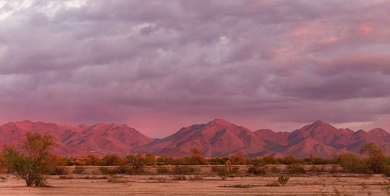
The file photograph with this brief shows the McDowell Mountains at sunset; it is not a Drought Monitor map. These figures cover Maricopa County as a whole. They are not a Scottsdale-only measurement, and they are not the city’s own drought-management stage. The monitor does not replace a live official city stage, and this brief does not assign one.
The U.S. Drought Monitor is a weekly joint product of the National Drought Mitigation Center, the U.S. Department of Agriculture and the National Oceanic and Atmospheric Administration. Maps are typically issued on Thursdays. The next update after the Nov. 10 map would be expected later in the week of Nov. 16.