Desert Living
Pinnacle Peak Park’s out-and-back trail climbs 1,300 feet
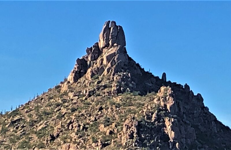
Pinnacle Peak Park covers 150 acres in North Scottsdale and offers a two-mile, one-way trail with a cumulative elevation gain of 1,300 feet, according to the city’s park page, last updated Nov. 12, 2026. The trail’s high point is listed at 2,889 feet; the trailhead sits at 2,570 feet. The park is at 26802 N. 102nd Way.
A city FAQ describes the route as an over-and-back trail, not a loop, and says most hikers finish in about an hour and a half to two hours. There are no restrooms beyond the trailhead. Experienced rock climbers with proper gear may use three designated areas in the park; the city says slacklining is not allowed. Parking on the west side of the park along Jomax Road is also prohibited and enforced, the FAQ says.
Daily hours are posted in a city PDF on the park page rather than as a single year-round clock time, so check that schedule and the trail map before you go, especially in shorter winter daylight.
Sources: City of Scottsdale, Pinnacle Peak Park and the city’s Pinnacle Peak FAQ.